
We took our time getting under way this morning as we decided to enjoy the amenities of the Hells Gate campground, a nice warm (?) shower, paved walking track and beautiful setting.
The first destination of the day was the town of Lolo, Montana. The route to Lolo runs along the Clearwater River for 175 miles from Lewiston to Lolo pass at 5200 feet, and thence another 20-30 miles to the town of Lolo itself not far from Missoula.
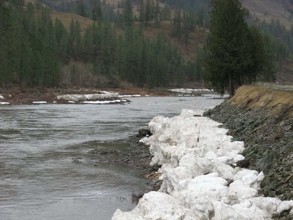
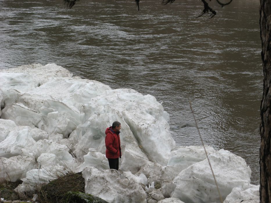
In the lower reaches of the Clearwater River we were surprised to see large snow banks just back from the waters edge. (see photos, click for larger images).
At about 100 miles as the Clearwater River and the highway started to climb more noticeably snow started falling. As we climbed towards Lolo Pass the snow continued to fall and by the time we got to the pass we felt we were in the depths of winter with a heavy snow cover on road and surroundings. The snow persisted on our decent to Lolo.
In Lolo we picked up some fuel for $1.89 per gal and continued on to Missoula. Our original plan was to head south from Lolo along 93 to Wisdom and Bannack but it was evident that we had not calculated our travel carefully enough and that route would not get us to Bozeman to meet up with Richard by mid day Tuesday. We would consider the Bannack route for our journey onwards from Bozeman.
No nice camping spots that night; we were in a rest area beside I-5.