
The Liard Highway finishes at Checkpoint, a now closed gas station and convenience store at the junction with the Mackenzie Highway. We turned west at this junction for a short side trip to the settlement of Fort Simpson, 60 km away and across the Liard River ferry - it's an ice bridge in the winter.
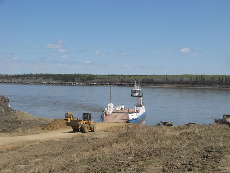
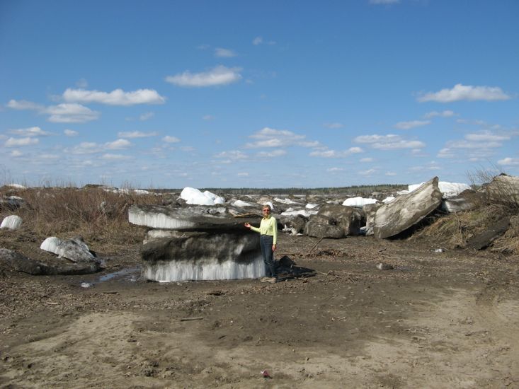
The ferry crossing was an interesting affair. The banks of the Liard are quite steep and high, with many large blocks of ice surviving the warmer weather scattered along the banks. The approaches to the ferry are simply graded earth ramps, and on this day appeared to be still under construction as a tractor was dumping gravel on the ramp. The Liard was flowing swiftly. The captain was able to make the ferry travel side ways by pointing the bow up river at an angle, so that the up river velocity just cancelled out the river flow.
Fort Simpson which sits at the confluence of the Liard and Mackenzie rivers was a larger community than Fort Liard and seemed to have lots of service businesses, at least three air charter companies, and a number of construction companies, as well as 2 schools, and a well equipped visitors center.
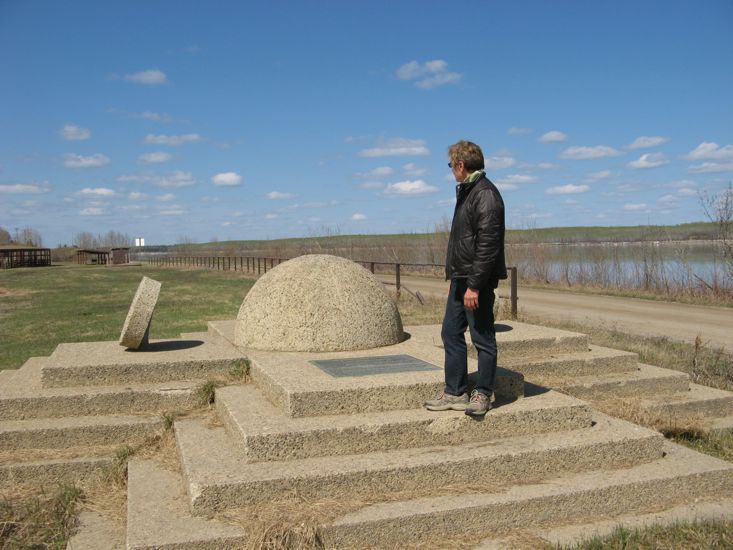
We had lunch at a local park on the banks of the Mackenzie River. It was interesting to be back at the Mackenzie, the same river we drove on from Inuvik to Tuk on April 17th, but this time to see it liquid and flowing. The park -the Papal Grounds, or Ehdaa - was the venue for the visit to Fort Simpson in 1987 by Pope John Paul II.
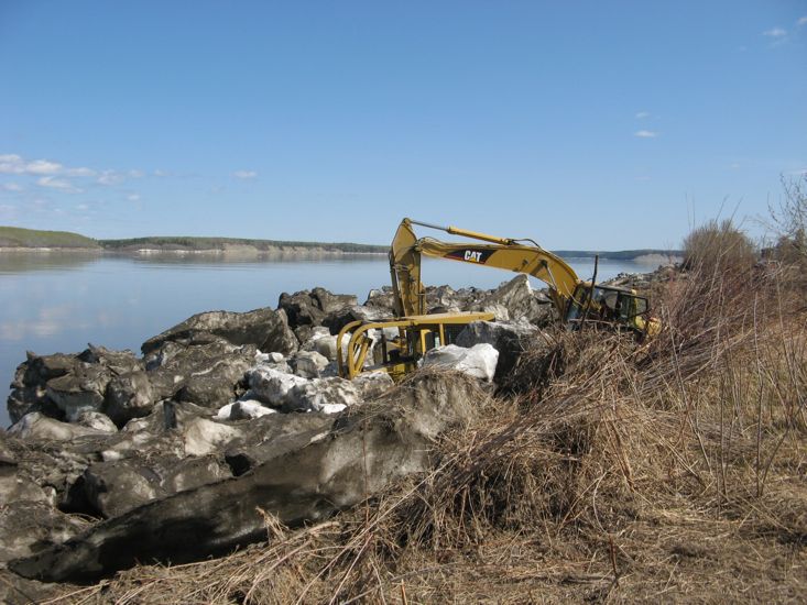
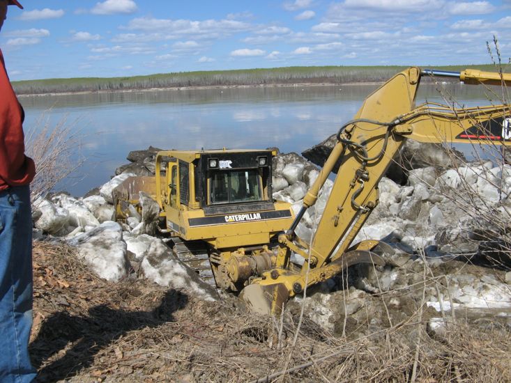
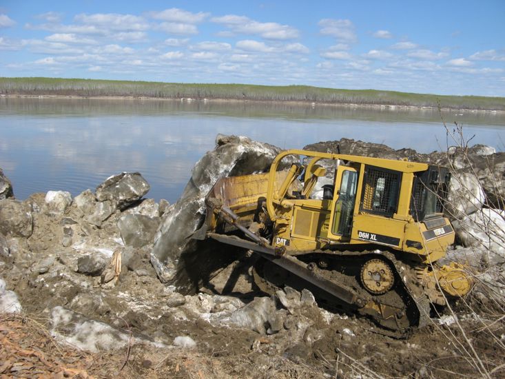
After lunch we drove along, Mackenzie Drive, a gravel/dirt road that follows the banks of the Mackenzie north of the town. We came across two earth moving machines, a D6 caterpillar dozer and a large caterpillar excavator. The D6 had been hired to clear a ramp for one of the float plane companies. The ramp was covered in car sized blocks of ice that were to be pushed into the river. However, the D6 had become stuck amongst the blocks of ice and the excavator had been brought in to help un-bog it. We watched for a good time as the excavator broke the large blocks of ice and pushed them out of the way. Once freed the D6 went back to pushing car sized blocks of ice into the river.
One of the spectators was the chief pilot for the float plane company, as coincidence would have it he is married to an Australian from Melbourne. Is it a small world or do Australians just get about a lot?
After retracing our steps across the ferry and back to Checkpoint we took the Mackenzie Highway east, along the way passing two road side parking areas that boasted survival huts, small log cabins with pot bellied stoves. One can only guess as to why a highway needs survival huts.
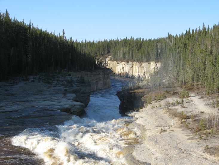
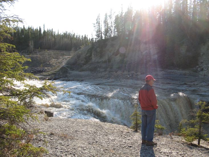
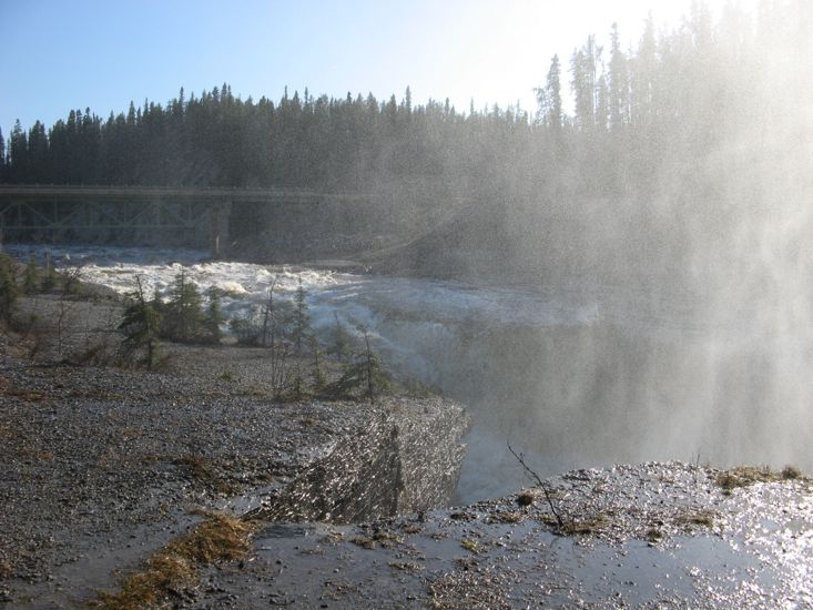
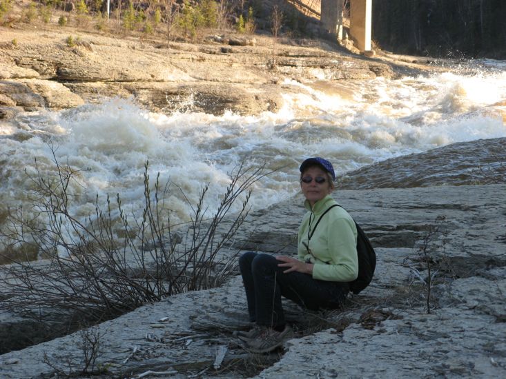
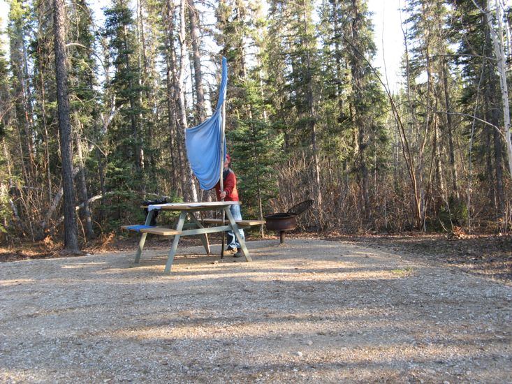
We stopped for the night at the Sambaa Deh Park which is situated beside the Trout River where the highway and bridge cross the same river, another great camping ground.
Up stream of the bridge the Trout River is 150 yards wide, very deep and very fast flowing, with pressure waves as much as 3 feet high. On the down stream side the river enters a gorge through a water fall that is no more that 20 feet wide. The view of all that water forcing its way through the small opening of falls is simply breathtaking, and more than a little intimidating. Mind you, the white cross embedded in the bank just above the falls - a memorial to a previous, somewhat unlucky, visitor adds to the intimidation factor.