
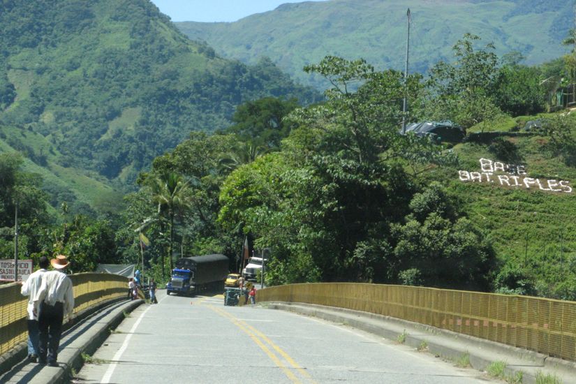
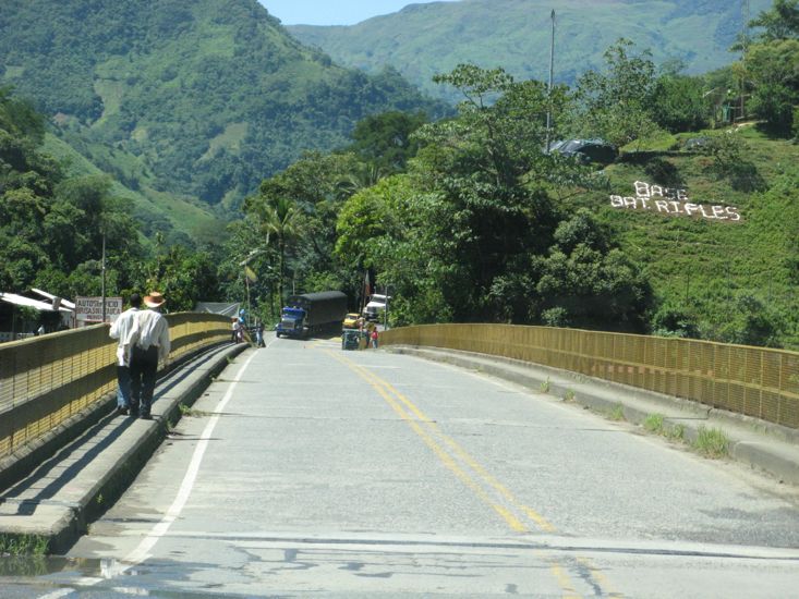
The road started to climb almost from the start of todays travel and after we crossed the bridge over the Rio Cauca the climb was on in ernest. You might notice in the photo of the bridge the sand-bagged machine gun post at the far end of the bridge. We climbed from 500ft to over 9000 ft in less than 100 miles and got to 7000ft in about 30 miles.
The mountains are all covered in vegetation which disguises the altitude.
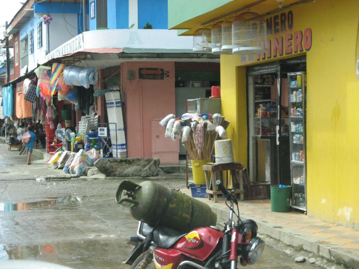
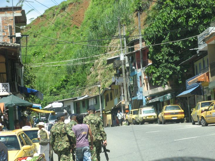
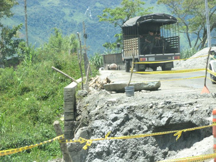
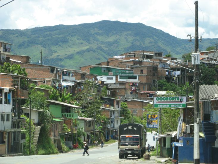
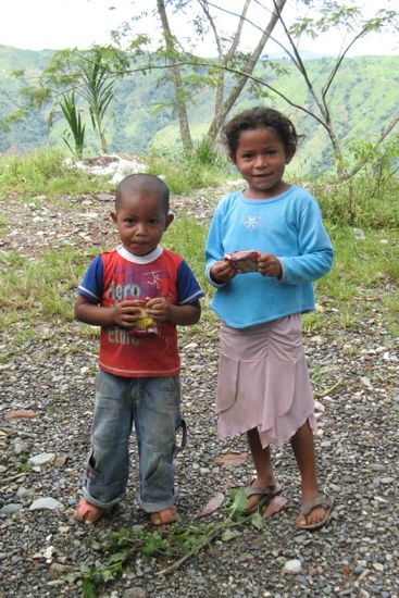
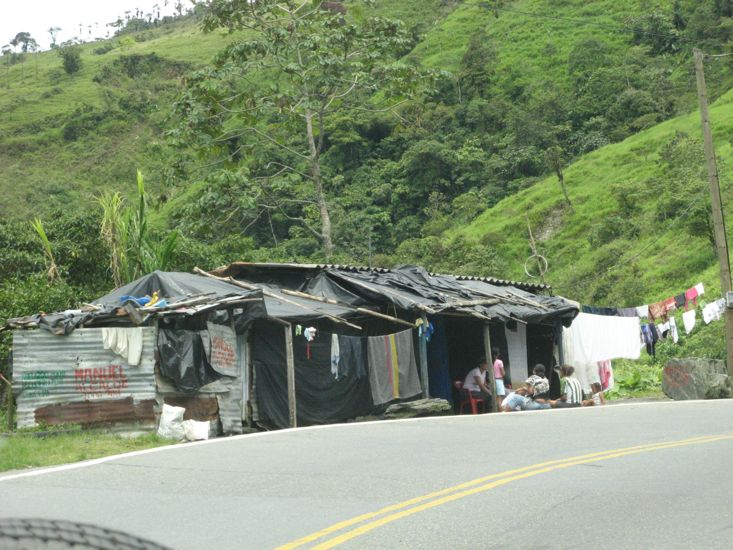
The road wound along the sides of the valleys so that above and below us were steep slopes and in many places the road had subsided sometimes only causing dips in the road but often reducing it to one lane, generally accompanied by a sign carril izquierdo cerrado which reads left lane closed The first time we saw this we assumed it meant an overtaking lane was closed - but no the outside lane of the road simply disappeared. By the way, the road is used by heavy trucks and semis taking shipments to the south. All along the road there are houses and little communities mostly just hanging on the edge of the road with literally no where to stand except inside the house or on the road.
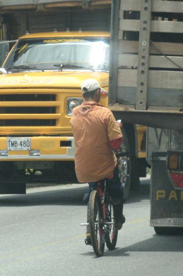
We noticed a fearless form of locomotion being used by the local cycle riders who wanted to travel up hill, they simply catch onto the back of a passing truck and allow it to tow them up the grade. The fellow in the photos rode this truck for many miles, at one point steering with his feet while he held the truck with one hand and checked his cell phone with the other. He even held onto the truck while it overtook other vehicles.
The vegetation changed a number of times during the climb, and to our surprise when we got on top of the range we found large eucalyptus trees in abundance - made us a bit home sick for Australia.
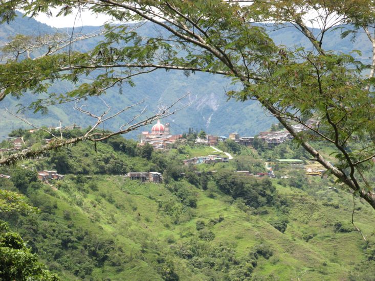
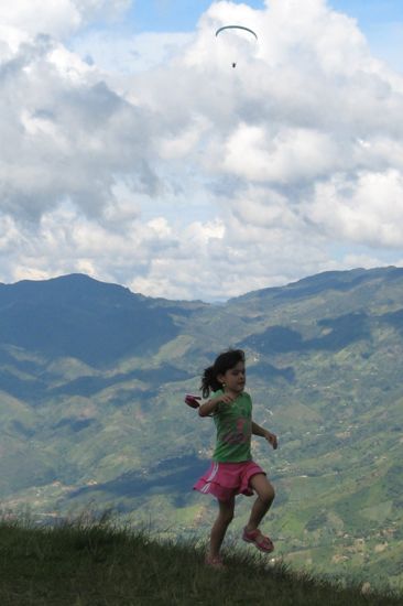
We tried hard to get lost in the town of Yaramul, a pretty town set on the side of some huge hills. Not far beyond Yaramul we stopped at the only lookout on the entire road to watch a couple of paragliders hanging in the air, and talked to a Colombian man showing some American friends around his country.
From that point the road descended down to 4000 ft and the start of the autopista into Medellin (pronounced Medeeyin).
Then followed a couple of hours looking for a place to stay, trying to find and park near a super market to get some food, and of course getting lost in the process.
We noticed hundreds and then many hundreds if not thousands of people out in parks and open spaces flying kites. We even got caught by a kite string that was stretched across the road thankfully no kite or person on the end of it.
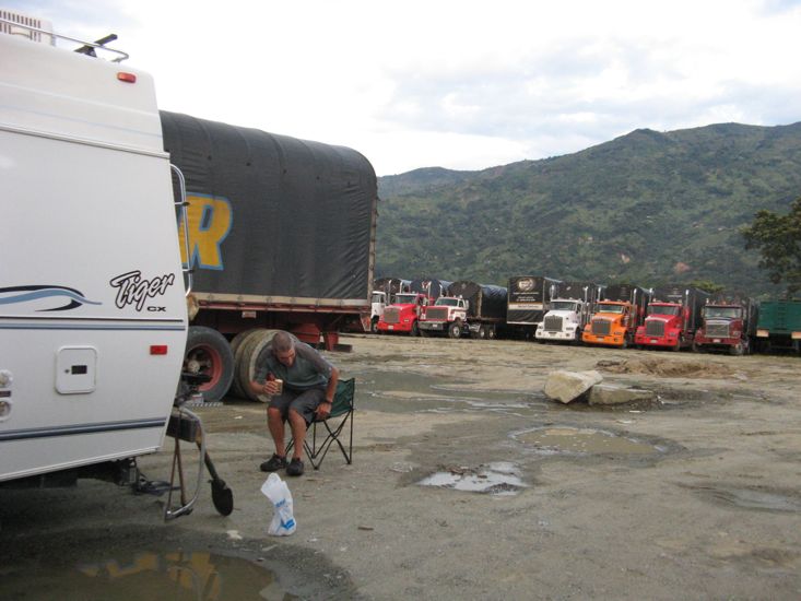
Another gas station, this time an Esso on the East side of the highway that has a large fenced truck parking and storage area behind it. The lady pump attendant unlocked the chain so that we could get in. No charge.
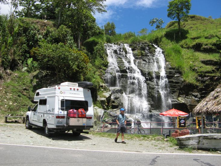
Through the mountains today there were many gas stations or restaurants that may have been suitable for camping. We think they area called Estadero.
Just North of where we stayed there is a water park that we had heard of from other travelers. We could not get inside the park with our vehicle due to height restrictions but there is a bus parking lot outside that may have been suitable.