
I think it would be accurate to say that today was a full day.

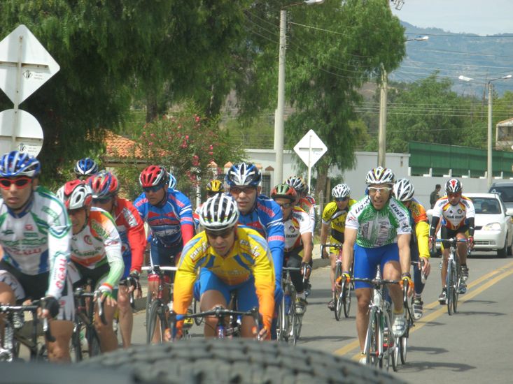


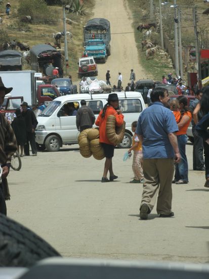
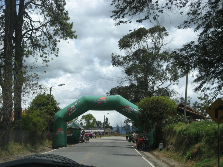
We started today heading for the town of Raquira using a map of the region we got at the campground last night. It did not take long to realize that roads shown on this map may in fact be little better that narrow dirt tracks that would not qualify as goat-tracks. But none the less we eventually found our way onto the correct roads and Raquira. However along the way we became part of some type of regional bike ride. We passed dozens of bike riders, some of them serious looking fellows, dressed in lycra, riding very expensive bikes. Along the route we followed, the small towns were all in party mode with food stalls set up to nourish the spectators waiting to see the bikes. At the top of one demanding climb to 8500 ft we actually passed through a green inflatable structure that looked like the finish line of the ride.
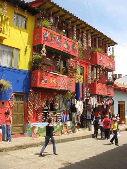
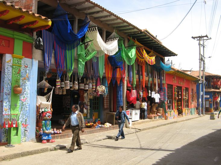
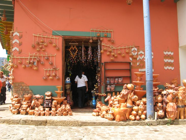
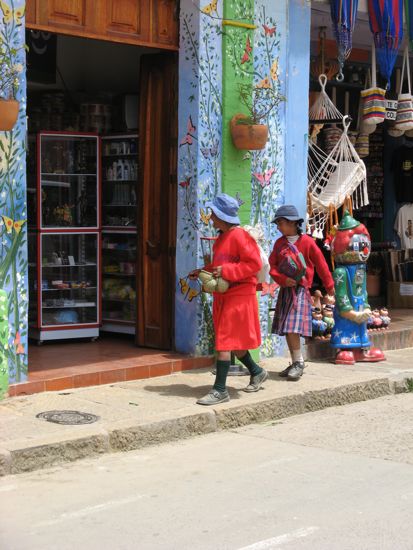
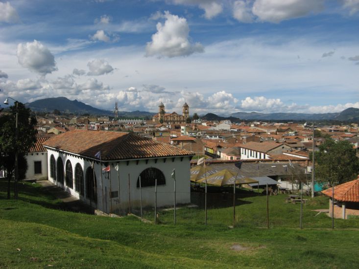
Raquira proved an interesting though small town. It claims the title of Craft Center of Colombia and from the brightly painted shops in the main street to the staggering quantity of craft items on sale one could understand why.
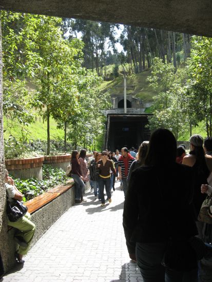
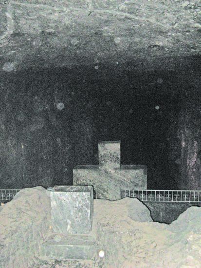
From Raquira we headed down the highway towards Bogota with the aim of stopping at Zipaquira, a town famous for its underground Catedral De Sal or Salt Cathedral. Getting to the park, that houses the cathedral was simple from a navigation point of view, as once we entered the town there were plenty of signs but maneuvering the vehicle was a different story. The town as you can guess by now had narrow streets, and the place was packed with people. After a 20 minute wait we entered the cathedral complex through a tunnel way into the side of the mountain and followed a series of galleries until we eventually found our way down into the main chambers. There were at least three big chambers, 100 yards long, 30-40 wide, and 100 ft high - all being used as places of worship. The scale of the excavation is simply staggering and neither words nor photos can do it justice.
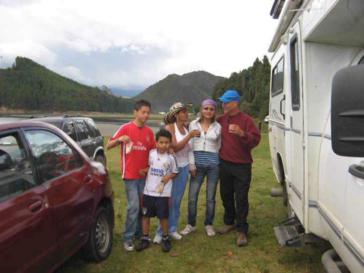
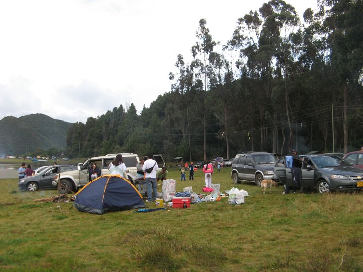
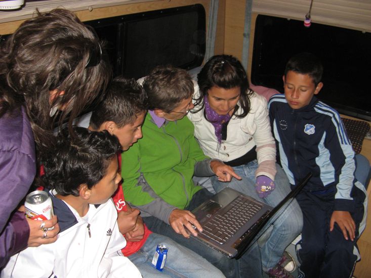
Once done with the Catedral it was time to try and find our camping place for the night, and all we had was some GPS coordinates and a rough idea of where on the map. After a number of bad moves in the tight inner streets of Zipaquira we were on the road to Cogua, at least that was a start we thought. Some directions from a bus driver in Cogua had us winding our way up another narrow mountain road that was simply packed with people and cars out for the day. By the time we pulled up to the entrance gate of Embalse Del Neusa the GPS said we were at 9700 ft, and at the right spot. And we now realized that Embalse Del Neusa is a park, with a lake - something we did not know when we started the climb earlier in the afternoon. We followed along the edge of the lake on a dirt track for a few miles, passing dozens of cars leaving the park, and then pulled down onto the lake front to find that half of Bogota was here camping or picnicking. We found a spot amongst the crowd that was reasonably flat, parked and were immediately in the middle of a seven way conversation in broken English and even more broken Spanish with one of the neighboring families. These conversations continued off and on over the next few hours. We shared some of their barbecue, danced a little to their music and then about 8:00 pm said goodbye as they headed to Bogota, about 2 hours away they said. From this family we discovered that tomorrow is a public holiday and that they don't have to be at work until Tues. That explained why everyone was out enjoying themselves.
Thanks to the dare2go website for telling us about the wonderful camping spot at Embalse Del Neusa. It is a park of some kind that encompasses the entire lake and has a gravel road that circles the lake with camping at many places on the shore. The dare2go GPS coordinates N 05°10.054' W073°56.020' are very close to where we eventually stayed, and together with our free Colombia GPS map brought us right to the place. The GPS coordinates of the entrance gate are N 05 08.140 W 73 58.003. The route we took was from the center of Zipaquira, through Cogua. On the uphill side of Cogua we took the left hand fork in the road and then simply followed the twisting road to the park. As we discovered when leaving the easier route is from the highway to Bogota, about 5 -6 miles before Zipaquira take the almost unnoticed turn to the right at N 05 04.453 W 73 56.371
Along the road to Embalse Del Neusa the camping and overnight parking at Parque Rio Neusa N05 06.500 W73 58.141. It does not look as nice but would be a good stop if you where running out of daylight.
Earlier today we were in the town of Raquira. This is a very interesting small town with lots of craft shops. The town had two parquederos that would fit campers. One on the main street with a more suitable second entrance in a side street. The other was in a side street.