
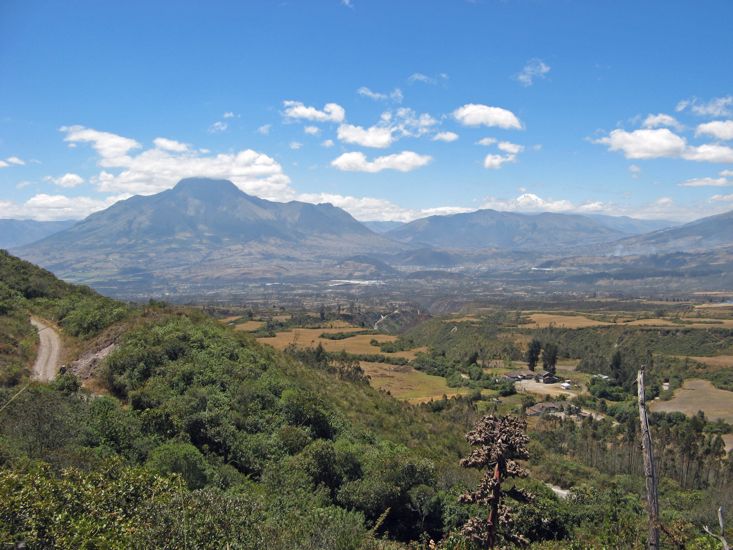
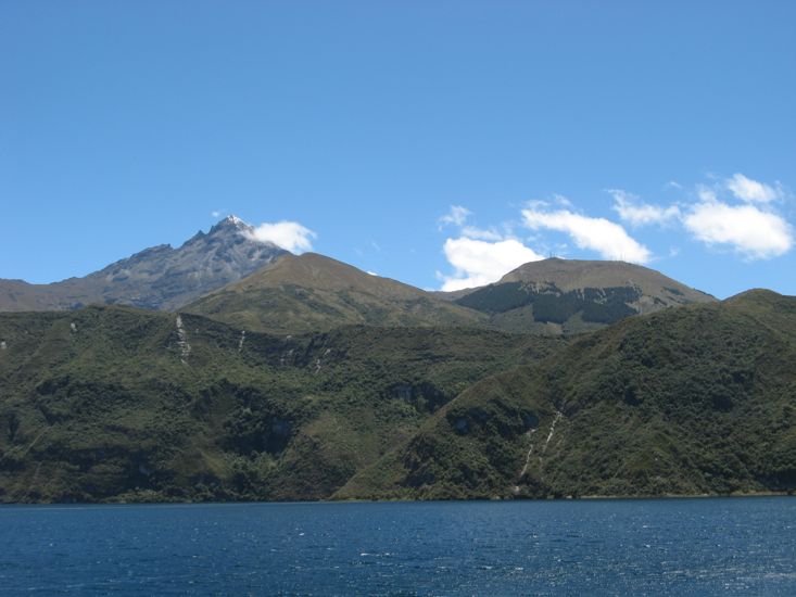
We stayed at Cuicocha until late morning trying to get a good photo of the snow brushed tip of Mount Cotacachi. In the process a snow capped mountain emerged out of the clouds to our East. I guess from the map that it is Mount Cayambe at 5790 m. While at the lake we bumped into an Australian and two Swiss tourists who had come up to take the hiking trail around the lake. They gave glowing reports on their trips to the Galapagos Islands, so that is now back on Nina's agenda.
On the return we found some of those leather stores in the village of Cotacachi and added to our supply of souvenirs.
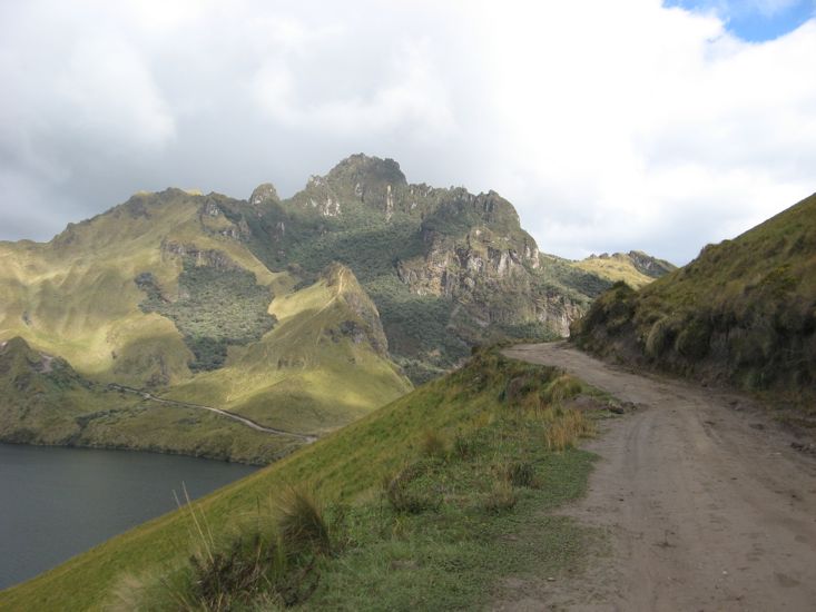
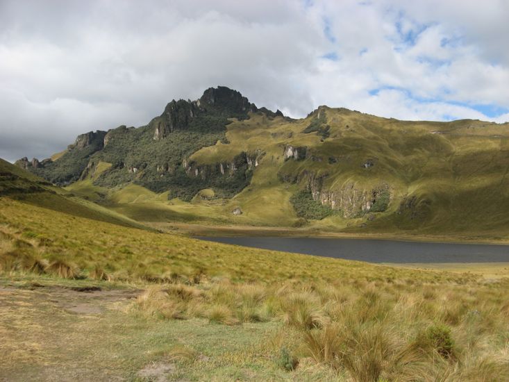
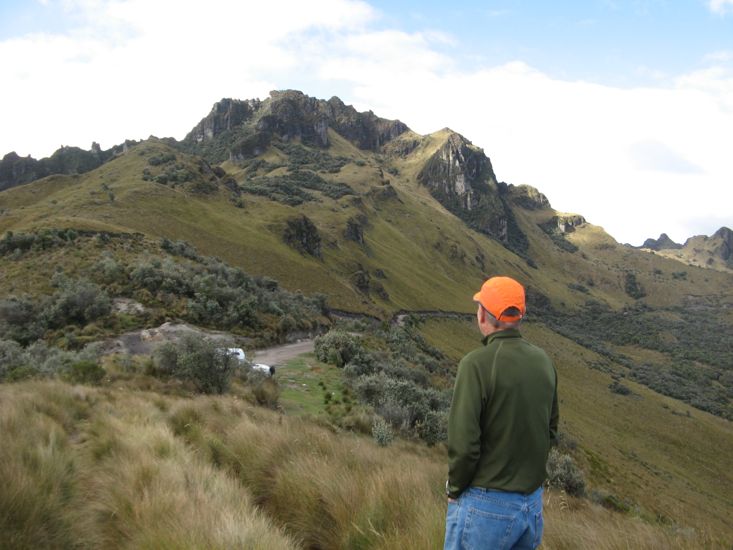
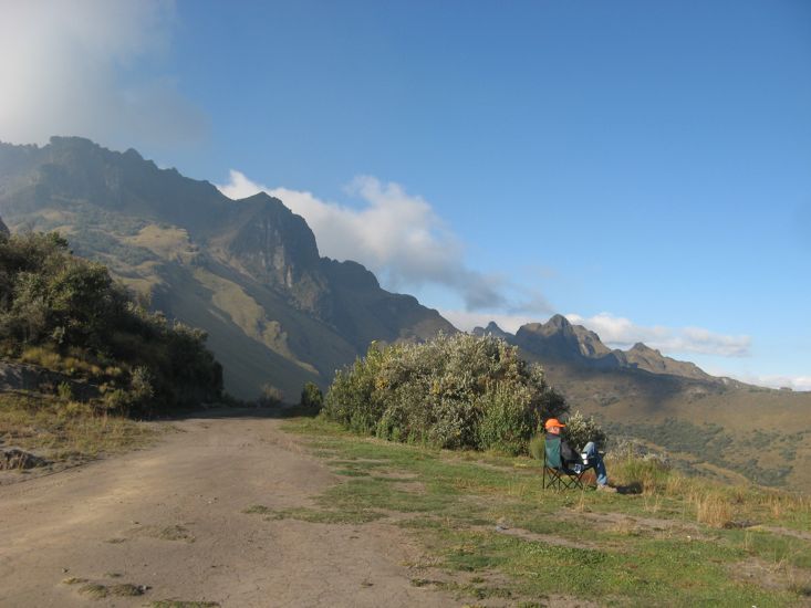
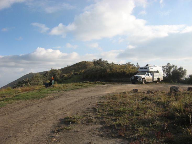

After a stop for lunch and internet in Otavalo we headed back out past the Ricon campground to Lake Mojanda. The climb to the lake was 17km on a narrow cobble road. I cannot imagine the effort it took to build that road. We were a little surprised on the climb to see out GPS telling us that we were at 12,000 ft for we had not really taken much notice when people told us of the elevation gain to the lake. At the lake a dirt road consisting of extremely fine dirt, and hence dust, continued so we followed; eventually passing another lake and climbing up a narrow steep trail to 13,990 ft. Needless to say we had to walk up the nearby hill to get above 14,000 - just to say we had done it - and to set personal altitude records. Maybe I can climb Mount Rainier next summer. The afternoon was sunny, the air cool, a slight breeze blowing, and the views stunning so we decided to stop on the ridge for the night. This would also give us a chance to see how we coped with the altitude.
As night arrived the temperature dropped and my down jacket came out - a bit weird considering how close to the equator we are - so did an almost full moon and the stars. I am convinced - perhaps incorrectly - that I can see the two pointer stars of the Southern Cross constellation.
I am pleased to report that all of our propane appliances worked at this altitude.
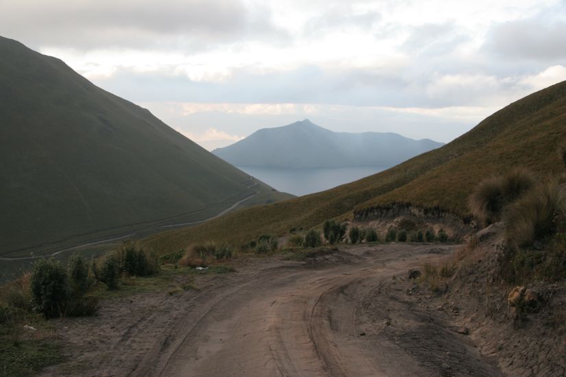
We camped on top of a ridge line at 13,990 ft above Lake Mojanda and another smaller lake that we don't know the name of. We got there by following the cobbled road past Ricon Campground up to lake Mojanda, about 17kms. At the lake the road splits, the lower cobbled road goes a short distance to an old building on the lake. The upper road is dirt and follows the lake to an intersection. Take the right branch which leads to a smaller lake and another intersection, take the left branch and climb steeply to the ridge top. The road continues but we stayed on the ridge top for the views and altitude.