
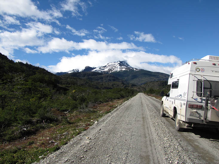
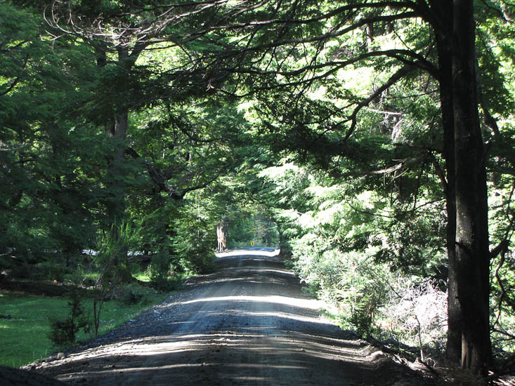
We were treated to fine weather today and it really did show off the country side and scenery.
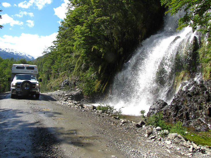
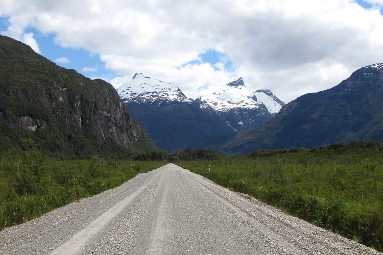
Todays route roughly followed the Rio Baker as it wound its way to the sea. We travelled through a mix of scenery, some wet lowland forests, along the sides of some mighty gorges, and in every direction spectacular mountains with glaciers peeking over their upper ledges, and countless huge waterfalls draining the melting waters from the great ice caps that we know from the map are sitting just out of sight on the tops of those same mountains.
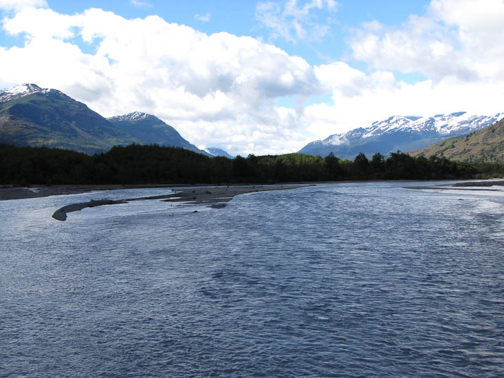
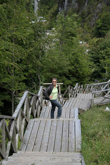
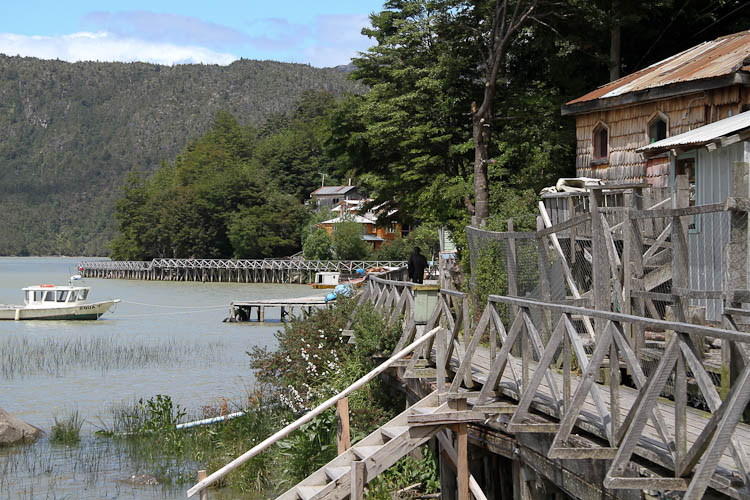
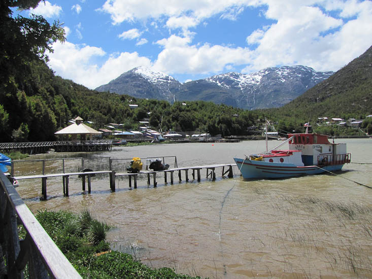
The road and the Rio Baker part company just north of Puerto Yungay and the river heads towards the ocean at the town of Caleta Tortel. A fact from a tourist pamphlet that I found interesting is that in its lower reaches the Baker flows at 1500 cubic meter per second, the highest in Chile. A spur road accompanies the Baker out to this interesting little hamlet. Not settled until the 1950's this town sits right on the edge of an ocean inlet and as a result is adorned with fishing boats. But the most interesting feature of the town is that it has no streets or sidewalks, the ground is too steep and wet. Instead is has raised timber walkways. These are the only means of getting around the town!!.
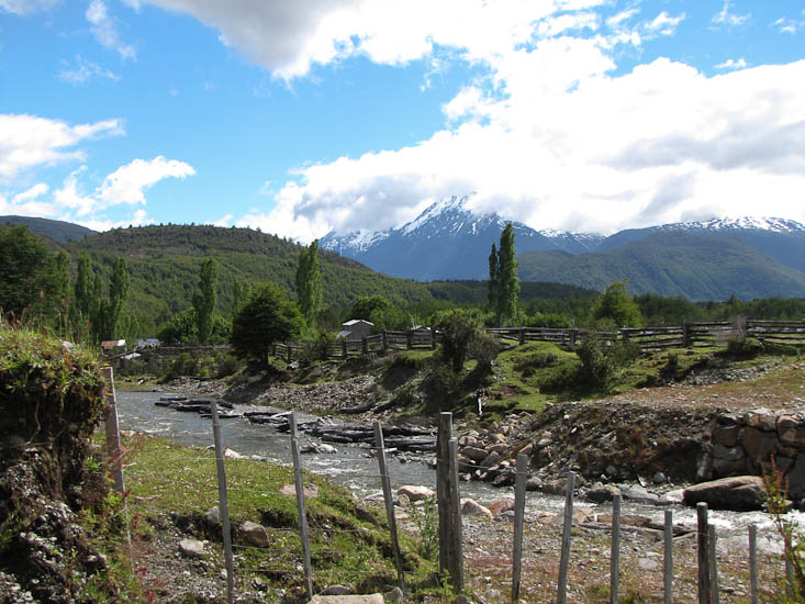
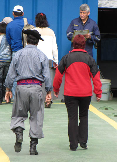
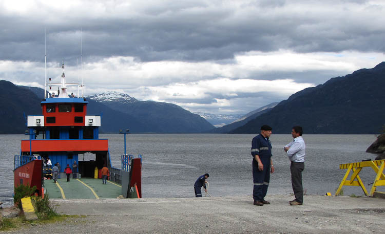
Returning to the Austral we arrived at Puerto Yungay to catch a ferry across Fiordo Mitchell to the head of the Rio Bravo and the final segment of road into O'Higgins. There are only three ferry departures per day and the vessel only carries about 10 vehicles. We had a wait of a couple of hours in which to relax and enjoy the locals and the scenery.
After getting off the Puerto Yungay ferry we found the first pull off for a camping spot. It happened to be a gravel quarry that was half full of water. We would later discover a much nicer place a few kms farther south, a big parking area on the East.