
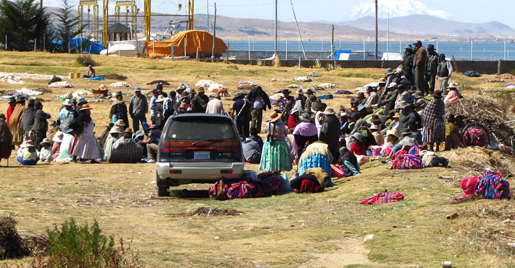
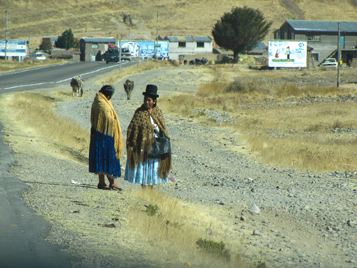
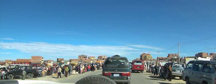
Getting out of La Paz this morning and onto the road to Sorata was an interesting challenge that afforded us an up-close look at markets and traffic. The direct road from our hotel in Mallasa to highway 1 on the plateau in El Alto was closed for repairs so we had to resort to going directly through the San Francisco area of downtown La Paz. The traffic was perhaps the densest we have encountered. From there we climbed up to the plateau via a freeway and onto the road to the airport. Unfortunately we missed a turn and found ourselves on the southern side of the airport so spent sometime trying to correct this error. In the process we traveled through some miles of poor outer La Paz suburbs. A few more navigational adventures got us onto the road North to Sorata. Leaving the La Paz area we passed through a series of small communities. It was market day, and it seemed that in this part of the world markets are situated in the middle of the highway; which was packed with buses, trucks unloading people and goods and pedestrians darting across from one group of sellers to another. Quite exciting.
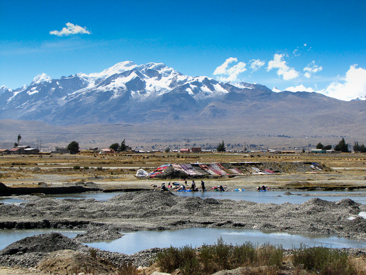
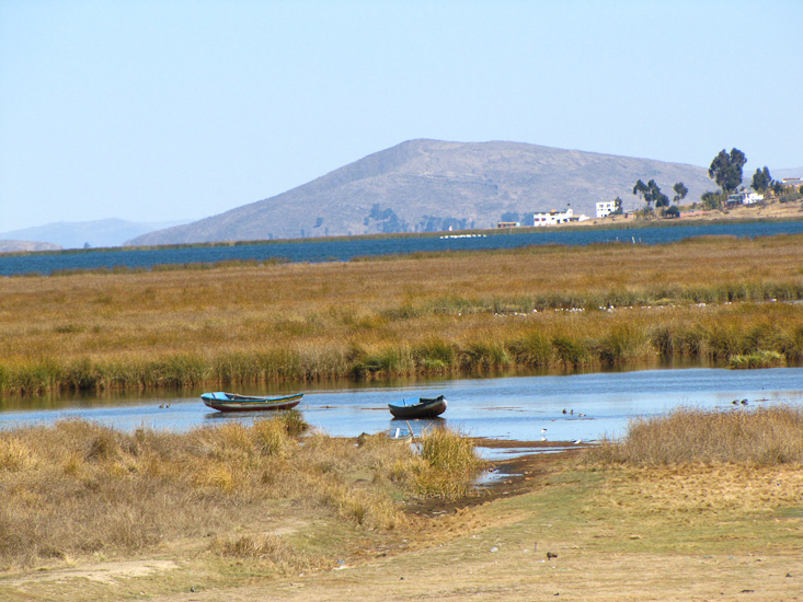
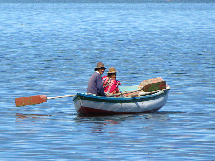

Mid morning we took a 30 km detour to travel beside Lake Titikaka. We had good views of the lake, a few traditional sailing craft with blue sails were on the lake, and many of the lake side communities seemed set up for tourists with hotels, and restaurants common.
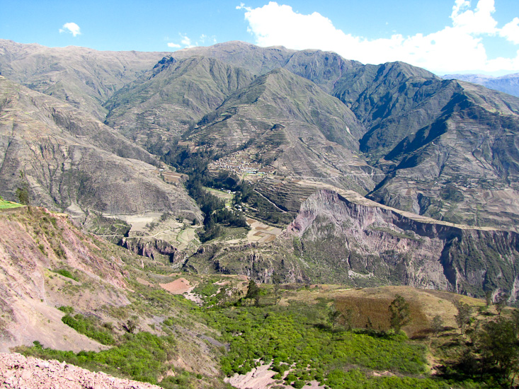
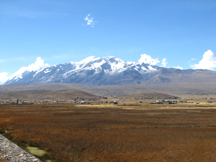
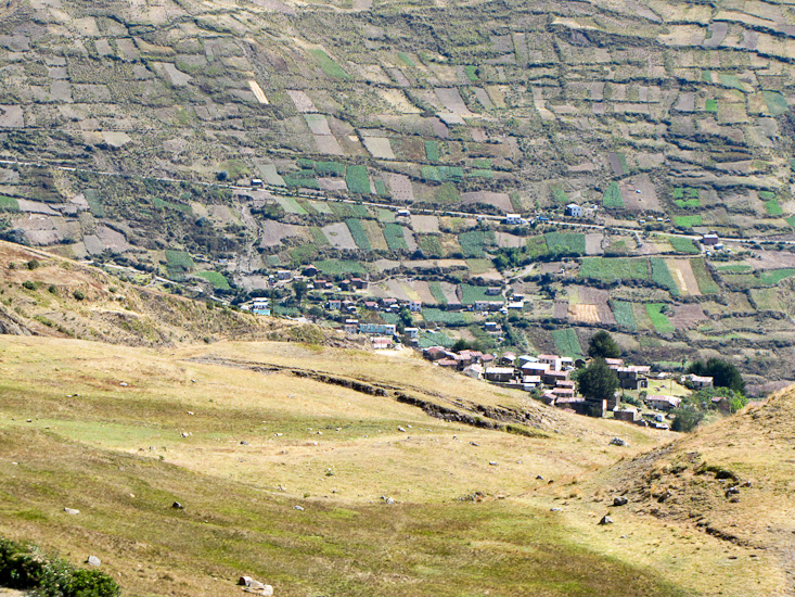
Back on the road to Sorata we were confronted by a stupendous range of mountains to our north-east. As we later read in the guide book this is the northern end of the Cordillera Real, the range that borders the eastern side of the Bolivia-Peru plateau. This range contains over 600 peaks above 5000m, and the mountain that dominated our view was Illampu at 6500m. Our view of Illampu got better and better as the road climbed to a pass at 4200m. At the pass we were confronted by an astounding view. Above us we could see Illampu at 6500m and below us we could see down into the valley of the Rio Challasuyo and Sorata at 2700m, and below our vantage point in every direction the sides of this steep valley were under cultivation.
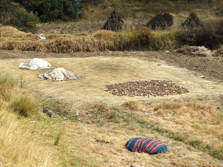
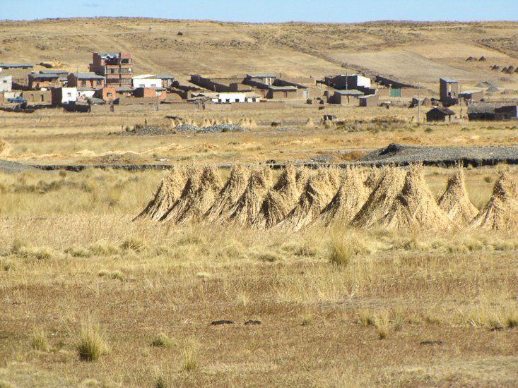
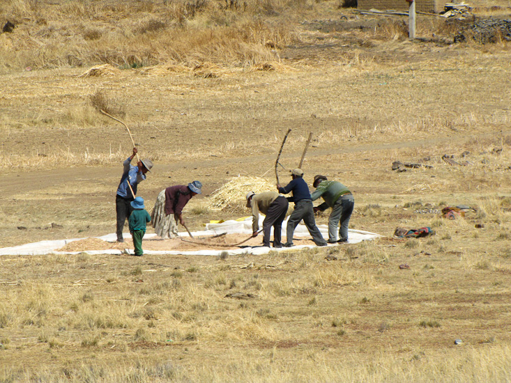
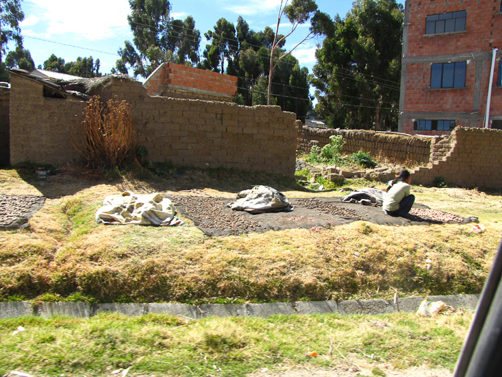
Throughout our travels today we have seen harvest activities in full swing. Numerous fields with stacks (sheaves) of wheat, groups of people threshing the grain from the plants, others using the wind to separate chaff from grain, and everywhere women sorting through potatoes laid out on a carpet of grass drying in the sun.
We camped at Altai Oasis in the town of Sorata. The place has cabins, a restaurant, bar, and a large tent camping area by the river. But with our large vehicle we could not get to the camping area so we stayed in the small parking lot. The upside of this is that we got electricity.
The place is easy to find but it takes some persistence to get to it. The entrance road into the town drops from the valley rim at 4000m, eventually turns into a rough gravel road, and then becomes narrow as it enters the town. But it does continue to the main plaza. Turn left down hill after the main plaza (but since the plaza is one-way you have to go right at the plaza and then left twice to travel around the plaza, and then straight down hill - the effect is that one has simply passed the plaza and turned left). From here the road, deteriorates further and continues down hill eventually crossing the river via a muddy and shallow ford. There appears to have once been a bridge but it is now out of action. After crossing the river the road climbs a bit to a Y-intersection where there is a sign to Altai Oasis pointing left. This is a very narrow track that eventually leads to the vehicle gate of the place. We reversed into the parking lot as the track was too narrow for us to turn around. I am not sure how we are going to turn to face up hill for the return journey but that's tomorrow's problem.