Lake Eyre
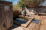
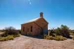
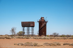
We spent the morning retracing our route of yesterday along the Bore Field Road and then rejoined the Oodnadatta Track. Along the track we stopped at a few points of interest, either old railway sidings (with ruins of railway buildings, broken bore machinery and in one case an old cast iron water tank) or natural springs. This part of inland Australia sits on top of the Great Artisian Basin, a large underground water deposit that covers 22% of Australias area and is estimated to hold 15,600 cubic miles of water. Along the Oodnadatta Track this water comes to the surface in natural springs in mound formations and provided natural staging places for early settlers and the early railways.

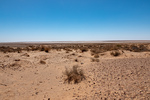
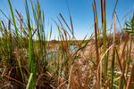
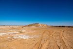
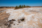
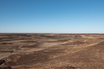
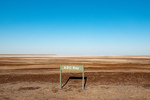

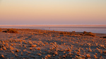
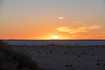
Just before Willam Creek we took a detour East to the shore of Lake Eyre, to a primitive campground on the edge of the lake. The 60 km track to the lake was very rough with large corrugations (washboards). The lake is the lowest point in Australia being 15 meters (46 feet) below sea level. The lake was named by explorer Edward John Eyre when he discovered it in 1840 and for a long time it was considered to be permenantly dry. But infact it floods from time to time either due to water flowing in from the Gulf of Carpenteria or from local rain. On average it fills only 4 times a century.
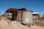
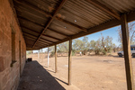
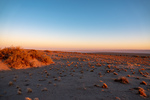
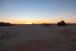
We were a bit surprised to find 5 other vehicles/parties at the Halligan Bay, Eyre campground. The only facility was pit toilets.