The Center of NSW
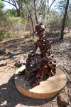
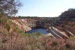
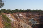
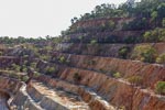
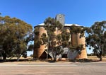
North of last nights camp we stopped in the very small town of Peak Hill and paid a visit to its now defunct open cut gold mine and the unusual sculptures of two miners panning for gold.
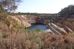
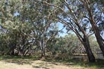
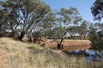
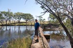
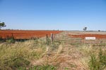
West from Peak Hill we found and explored a little weir on the Bogan River before continuing west to the town of Tullamore with its grain silo and not much else.
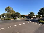
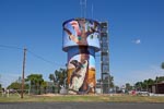
North from Tullamore is the somewhat larger town of Tottenham with a spectacularly painted water tower and its claim to be the (geographic)Center of NSWw. Later on the road north out of Tottenham we saw the sign to the stone cairn that marks the actual official Geographic Center of NSW. Tottenham just happens to be the town closest to that feature.
We "camped" the night at Nyngan Tourist Park in a large shed like, but very comfortable, cabin.
How does one determine the Geographic Center of an irregular area like the state of NSW ?
I leave that as an exercise for the reader.